Azmyth™
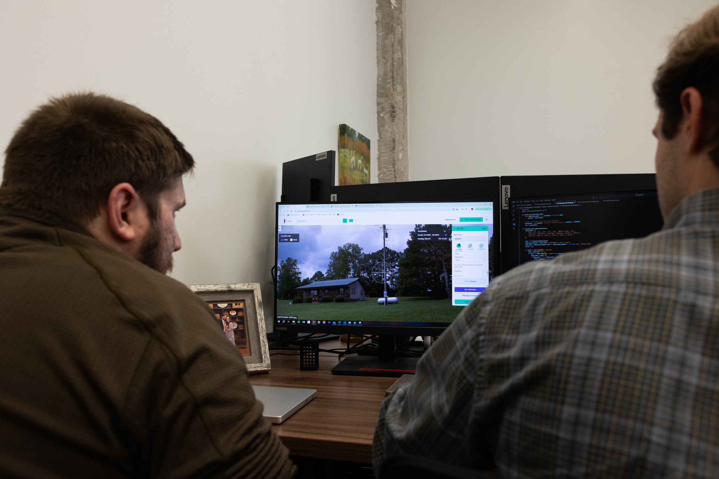
Take virtual measurements of utility pole locations, heights, and attachments using 360° imagery.
Azmyth™: the future of mapping software.
Say goodbye to expensive pole data collection and hello to virtual measurement! Drop into street level 360° imagery, point your crosshairs, and accurately measure anything.
Acquire high quality power pole data without leaving your desk!

